Established world class met-ocean data buoys for Kuwait EPA. Burgan equipment co. Won one of the major projects in Kuwait during 2015-16 for design, supply, commissioning and three-year maintenance of met ocean data buoys for Kuwait marine environment.
Buoy network for marine pollution monitoring and early warning applications in Arabian gulf.
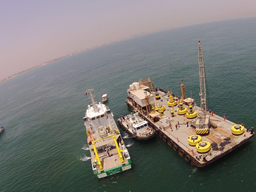
Burgan equipment co. Was awarded the project by environment public authority of Kuwait (EPA-Kuwait) through their official tendering for establishment of 15 nos. Data buoys system for monitoring of meteorological, oceanographic and water quality data in near-shore and offshore regions of Kuwait. The network of data buoys provides critical marine data for long-term deployments and making them a dependable and effective solution for marine monitoring and early warnings.

The upper part of the buoy system includes sensors for monitoring meteorological parameters like wind speed and direction, air temperature, humidity, barometric pressure, solar radiation; lower under water part covers oceanographic parameters like tide, current profiles, waves including directional energy spectrum; water quality parameters like conductivity, temperature, salinity, turbidity, dissolved oxygen, ph. The water quality parameters include chlorophyll and blue-green algae as one of the main objective of EPA-Kuwait marine monitoring program is to observe any unnatural change of reproduction and development of the harmful plankton qualitatively and quantitatively via studying the distribution and concentration of chlorophyll and other physical factors.
the sensors and platforms were imported from different parts of the world and integrated in Kuwait. The data buoy package consists of modular system components including sensor package, buoy platform, 3-point mooring package, data logging, solar power pack, intelligent power management, multi-mode telemetry systems. The data buoy system is capable for two-way communication and supports remote diagnostics and maintenance. Microstep MIS developed state of the art data logging and management based on Linux platform, including some of the latest technologies for data encryption at source, and intrusion detection system. The data buoys include ultraviolet based technique for control of biofouling during long-term, in-situ deployments of the water quality sensor package. The UV technology to limit biofouling was used for the first time in middle east areas and found highly successful in limiting the biofouling.
The system deliverables include centralized data collection and management at environmental monitoring information system of Kuwait (E-Misk). The system supports integration of the meteorological, oceanographic and water quality data from the data buoys to the geo-environmental database established by emisk that includes an enterprise level GIS system for access, update and analysis of the environmental data.
The central system includes modules for quality control, analysis, data publishing, alarms and notifications. The central system performs data processing and visualization of the data. Data publication is web based as well as through a custom build mobile application. The real-time as well as historical data and/or early warnings are therefore available for helping decision makers in planning and management of marine environmental protection activities in Kuwait.
The dissolved oxygen depletion in certain areas and fish kills was a huge concern for EPA through the network of buoys they could clearly monitor the dissolved oxygen levels and take preventive measures for containing the water pollution the EPA-Kuwait data buoy program is one of the largest long-term marine data collection program in the Arabian gulf and incorporates some of the latest technologies in marine monitoring. The success of this program will have a huge influence on similar marine monitoring programs in the Arabic gulf for monitoring and providing early warnings and aid during emergency response to marine pollutions and events like fish kill phenomenon and red tides.
Kuwait EPA has shown keen interest in executing the project with highest standards. The project was officially launched Sheikh Ahmad Al Humoud Al Sabah, dg of the EPA and member of the royal family in the presence of dignitaries like Dr. Mohammed al ahmed deputy DG. Mr. Hamza Abbas Karam director water pollution etc.
Kuwait EPA have a separate department E-Misk for data handling and analysis the system is very key in early warning and pollution monitoring in Arabian gulf. Three various departments are closely incorporating in handling and analyzing the data , a separate communication and project management department is set up at EPA marine pollution monitoring department a direct link between E-Misk and pollution department is set up to monitor the data continuously.
A three-way communication system is used with GPRS as primary and radio and satellite as secondary communication assuring 24×7 uninterrupted data flow.
The data is quarterly verified and assessed by external parties through EPA –Ropme and KISR are roped in by the department to provide their feedback quarterly.
Delegations and dignitaries from several countries have shown keen interest to see the system performance several organizations like Qatar EPA, Ropme Etc has visited the site several times and appreciated the work done this project has been one of the main milestones in the history of Burgan Equipment Company.
For more details please contact Mr. Ajith Kumar mobile No. +965 97601637 or by email ajith@burganequip.com
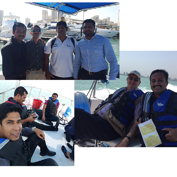
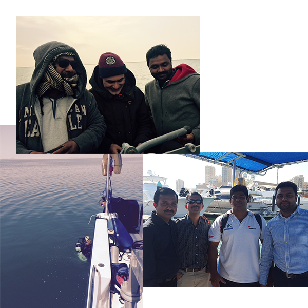
Detailed site survey was conducted the major challenges was no bathymetry data or site conditions survey was not done before deciding on the locations. EPA and MOC has selected the locations in such a way to cover the critical areas of Kuwait marine environment from north bordering Iraq, Kuwait bay and the offshore regions bordering Saudi Arabia to provide a complete spatial and temporal coverage of Kuwait waters.
Detailed site survey was conducted the major challenges was no bathymetry data or site conditions survey was not done before deciding on the locations. EPA and MOC has selected the locations in such a way to cover the critical areas of Kuwait marine environment from north bordering Iraq, Kuwait bay and the offshore regions bordering Saudi Arabia to provide a complete spatial and temporal coverage of Kuwait waters.
Detailed site survey was conducted the major challenges was no bathymetry data or site conditions survey was not done before deciding on the locations. EPA and MOC has selected the locations in such a way to cover the critical areas of Kuwait marine environment from north bordering Iraq, Kuwait bay and the offshore regions bordering Saudi Arabia to provide a complete spatial and temporal coverage of Kuwait waters.


Latest to oldest technologies were used for survey and Bathymetry-Teledyne multibeam eco sounders to the normal drop weight with cable were used to check the depth, slit conditions, GPRS coverage etc. Slight changes to locations bordering Saudi was made after consulting MOC.
Site survey was also critical for designing the mooring system for buoys, we have roped one of the best experts for mooring design Mr. Peter Eason a mooring expert based in United Kingdom for designing the mooring systems. He himself visited the site several times, discussed with local experts and divers on seabed conditions. Diving videos photographs, bathymetric data’s and buoy design was considered, and a proper mooring design was submitted for approval to EPA.
Mooring design varied from site to site on type of concrete weights and type of shackles and chains been used but a three-point mooring a general was suggested and agreed.
Experts for Microstep, Corilla And Burgan all worked hand in glove to have a design done suiting local conditions